DJI’s No Fly Zones, North Dakota, NASA, and the Big Fear
In our February 25 2014 post, “One Idea to Hasten Autonomous Drone Acceptance” I mentioned a discussion I had with airline pilot and attorney Kate Fletcher about an article we had both read about drones getting too close to commercial aircraft’s airspace. I wrote:
“…what is needed is a technology that prevents a drone from being operated into the path of an airplane.” “…no matter what the input…it just would not work.”
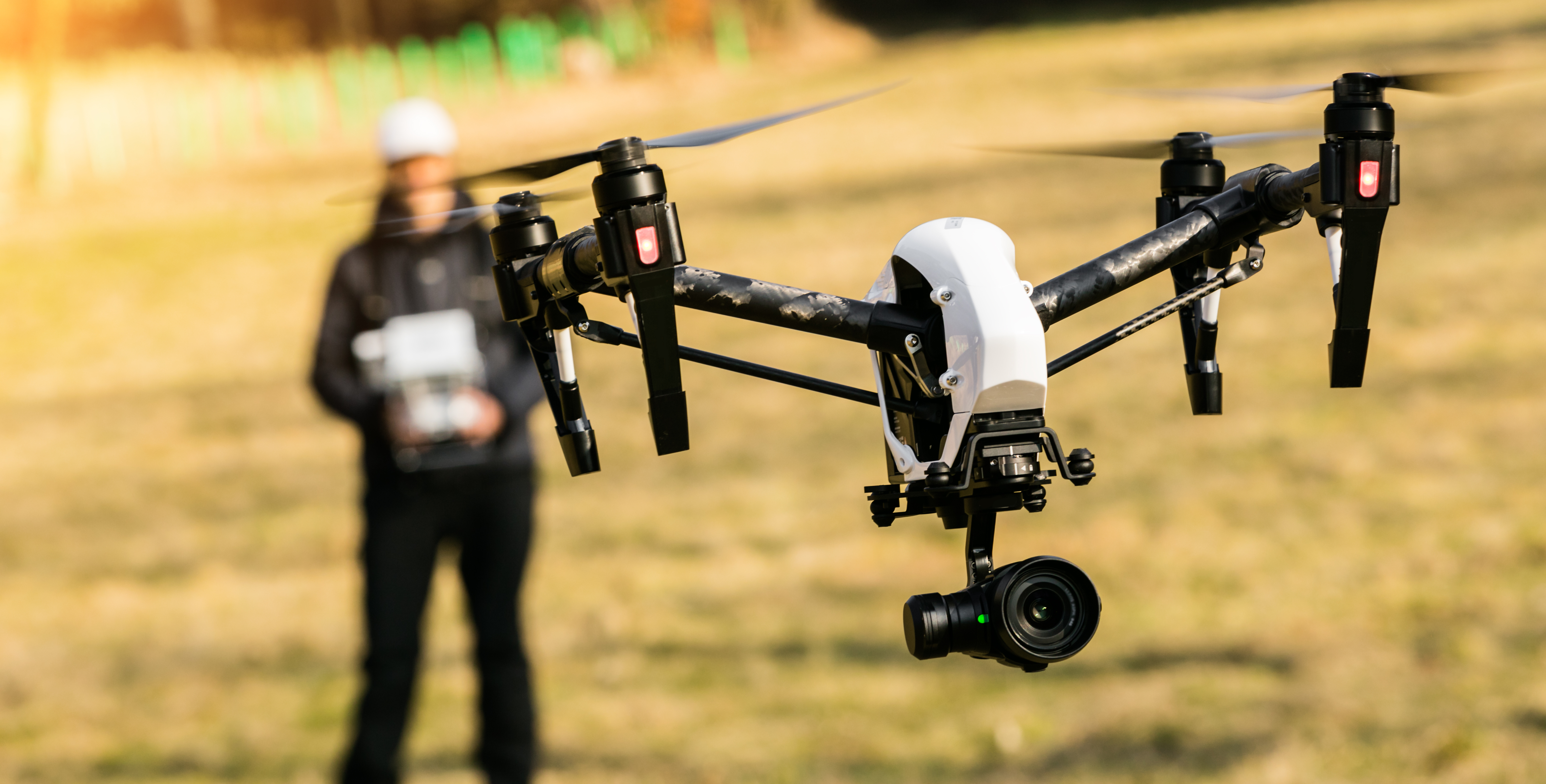
DJI’s No Fly Zones Firmware Update: Vision 2 Plus
In April, DJI announced its new Phantom Vision 2 Plus, which has a three axis gimble and a new HD camera. But the Vision 2 Plus also comes with something the company calls No Fly Zones. From the DJI website:
“In order to increase flight safety and prevent accidental flights in restricted areas, the new firmware for the Phantom 2 series includes a No Fly Zones feature to help users use this product safely and legally….These zones include airports worldwide and have been divided into two types, A and B.” Apparently this technology will not allow the drone to approach the restricted airspace around the enumerated airports.
This is a step in the right direction.
So far, we have found no technology (outside presumable airliners and the military) that actually changes the flight direction of a drone if the GPS coordinates and flight path happen to go through the path of an airplane, or acts as the electronic “bubble” to prevent a drone from being operated into the path of an airplane. But this is a step in the right direction
University of North Dakota, NASA, and the Big Fear
The big fear people seem to have about “drones” (aka Unmanned Aerial Systems aka Unmanned Aerial Vehicles) is the fact that without a pilot in the aircraft, there’s no one there to simply look out the window and see if something is coming close and change its own path to ensure safety. Unmanned aircraft won’t fly with commercial air traffic until that critical safety hurdle is cleared.
A team from the University of North Dakota is working with NASA testing drone collision avoidance systems in the skies near Grand Forks. We have found that these flights are testing a new electronic aircraft identification system the FAA plans to make a part of the next generation of air traffic control. Planes with this device constantly broadcast their location. This message is fed into a computer along with the drone’s airspeed, altitude and other information. The computer then calculates when a collision is likely and what evasive action to take.
To test this system on drones, legally, NASA created a surrogate drone, a single engine aircraft that can be flown by a computer, a pilot, or a control station on the ground. Researches watch two airplanes on radar and send the drone on a collision course (2000 feet lower for safety, but this doesn’t show up on the radar), the computer successfully recognizes the intruder plane and takes evasive action.
To keep the skies safe and help the commercial small drone industry take off, lets hope this moves the technology forward.


